





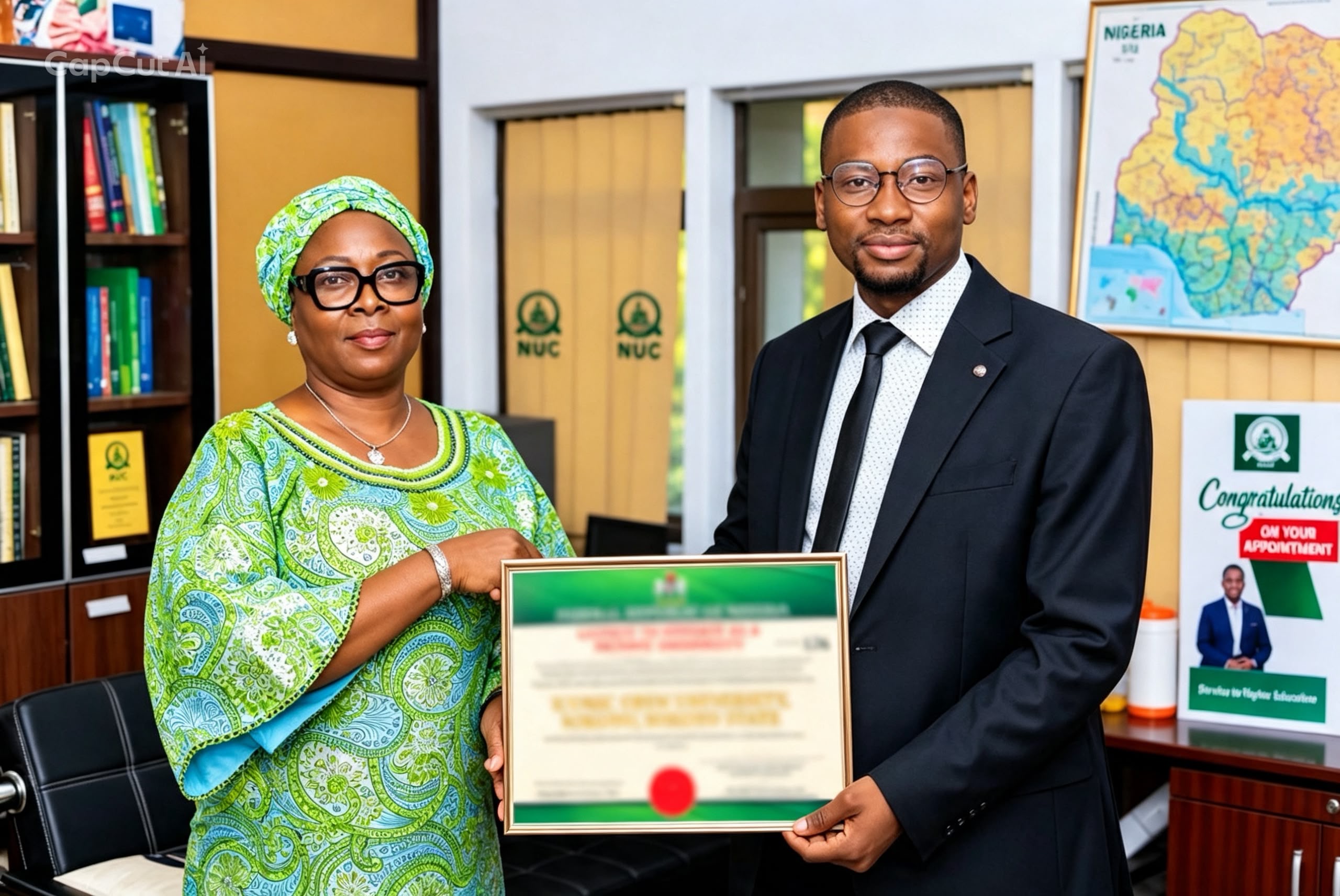













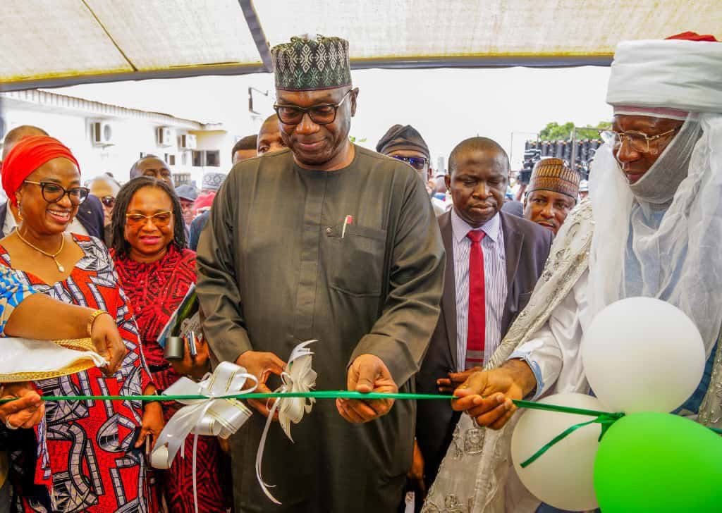
Kwara State Governor AbdulRahman AbdulRazaq on Monday launched a fully digital land administration system that will enable applicants to obtain Certificates of Occupancy (C of O) within two weeks to 30 working days once all requirements are fulfilled, marking the end of manual land processing in the state.
“Today marks another bold step in our commitment to innovation, transparency, and efficiency in public service delivery,” the Governor said at the launch of the Kwara State Geographic Land Information Service (KW-GIS)-based digital land information system in Ilorin.
He noted that land administration in many Nigerian states, including Kwara, had for decades suffered inefficiency, delay, and abuse due to manual record-keeping, discouraging investors and complicating property transactions.
“For decades, the process of land administration in many states, including Kwara, has been characterized by manual records, inefficiencies, and delays that discourage investors, slow down property transactions, and create room for abuse.
“Our administration made a decision to change that narrative. The KW-GIS Digital Land Information System represented a complete transformation in how land records are managed in Kwara State. It provides a modern, automated, transparent platform that ensures every parcel of land in the state is digitally captured, documented, and easily retrievable.”
AbdulRazaq explained that the new system eliminates duplication and loss of land records, shortens C of O processing time, enhances revenue generation, and boosts investor confidence by ensuring security and clarity of land ownership.
He described the launch as a milestone in Kwara’s ease of doing business reforms and called on all stakeholders to embrace the digital process.
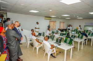
The unveiling drew attendance from top government officials, lawmakers, traditional rulers, business leaders, trade unionists, and market representatives.
Commissioner for Finance and Chairman of the Kwara State Ease of Doing Business Council (EODBC), Dr. Hauwa Nuru, said the innovation places the state ahead in several World Bank–supported programmes such as NG-CARES, SABER, and the HOPE initiatives (HOPE EDU, HOPE PHC, and HOPE GOV).
“This outstanding progress is a testament to Your Excellency’s unwavering commitment to institutional reforms, accountability, and sustainable development,” she said.
Dr. Nuru commended members of the EODBC, the KW-GIS team, consultants, and technical partners for their commitment to the project’s realization.
Executive Chairman of the State Internal Revenue Service (KW-IRS), Mrs. Folashade Omoniyi, said the system bridges long-standing gaps in land documentation and record accuracy by introducing a transparent, technology-driven process.
She added that the integration of the KW-IRS online payment system with the KW-GIS platform will further streamline operations.
“Investors, titleholders, and the general public can now register land, process CofO, obtain building approvals, and make all related payments online, seamlessly and transparently reducing bureaucracy and strengthening public trust,” she said.
“In tandem with this progress, the State Government has reviewed and harmonized existing laws governing land administration to align with modern standards. These reforms guarantee clarity, fairness, and efficiency in property rights, title documentation, and investment transactions.”
Executive Secretary of KW-GIS, Alhaji Sulyman Abdulkareem, described the launch as a landmark in land governance and disclosed that the agency had digitized more than 20,000 plots and scanned over 1,000 layouts.
“We have scanned more than 1000 layouts. We have also digitized all the plots in our KW-GIS platform, numbering about 20,000 plots. And this is a key achievement of our project,” he said.
Abdulkareem also praised the governor for approving N560 million in compensation for land acquired for the Kwara Smart City project and pledged that all records will be preserved for future generations to prevent encroachment.
Project Consultant, Dr. Paul Adepelumi, said the digitization sets a new national benchmark for land management efficiency.
“KWGIS is not just a platform but a revolution. It takes us from files to digital records, from delay to speed, and from opacity to transparency,” he said.
Project Manager, Engr. Ali Muhammad Kalot, explained that the digital service incorporates features such as parcel mapping, land record integration, revenue generation, and user access control. He noted that over 200 KW-GIS staff have been trained to manage the system effectively.